Saratoga's 2025 Fire Maps Added Tiers the Old Ones Never Showed
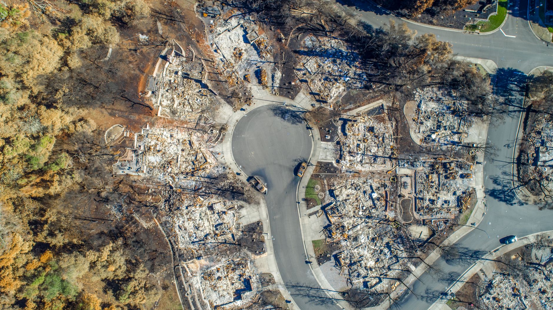
Why this matters in Saratoga specifically
Of the roughly 6,175 parcels in Saratoga's housing record, 857 single-family lots sit on an acre or more, and the median lot runs just under 13,000 square feet. Most of those larger hillside parcels are on the western side of the city — exactly the terrain where CAL FIRE has long identified Very High Fire Hazard Severity Zones. Saratoga is one of six communities in Santa Clara County with zones designated as Very High Fire Hazard Severity by CAL FIRE. That designation did not change in 2025. What changed is the map around it.
Saratoga's homes, from the record
| Built | Homes |
|---|---|
| before 1940 | 187 |
| 1940-1959 | 1,720 |
| 1960-1979 | 2,735 |
| 1980-1999 | 730 |
| 2000 or later | 670 |
| Single-family homes | 5,572 |
|---|---|
| Median lot | 12,998 sq ft |
| On an acre or more | 857 |
| Median size | 2,678 sq ft |
6,042 of 6,175 parcels in this market's record have a known build year.
What the 2025 update actually changed
CAL FIRE released updated Fire Hazard Severity Zone maps for Local Responsibility Areas in February 2025, replacing maps developed in 2007–2009. The timing matters: typically updated every ten years, the 2025 LRA FHSZ maps classify lands within local jurisdictions as moderate, high, or very high fire hazard severity zones using the latest data on fuels, fire history, weather, terrain, and other relevant factors.
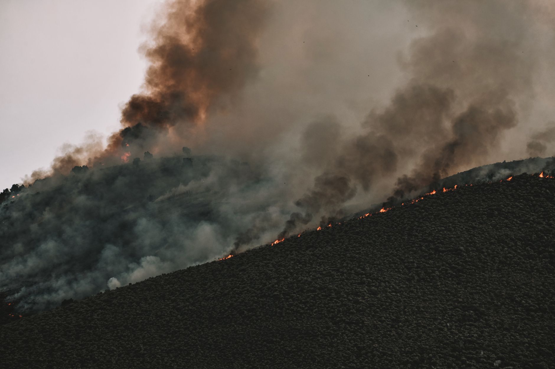
The scope of the update is significant in the Bay Area context. The Local Responsibility Area now has 475,000 acres classified by a fire hazard severity, up from only 60,000 acres previously — much of that jump because CAL FIRE now maps not just very high zones but also high- and moderate-hazard areas. The old local maps simply did not show those lower tiers.
The updates incorporate advancements in science and localized climate data, factoring in elements such as fire history, terrain, fuel loads, urban vegetation, wind-blown embers, and flame lengths to estimate the likelihood and behavior of wildfires over a 50-year horizon.
The City of Saratoga has published its own 2025 FHSZ map and updated its Wildland-Urban Interface (WUI) boundary to reflect the changes. The WUI predominantly covers the western hillsides of Saratoga, encompassing CAL FIRE's Fire Hazard Severity Zones and extending slightly beyond the FHSZ — and CAL FIRE's FHSZ maps were modified in 2025, necessitating a recent modification to Saratoga's WUI Boundary.
How to check your parcel
There are two tools worth knowing:
- CAL FIRE's interactive zone viewer at osfm.fire.ca.gov/FHSZ shows the 2025 LRA recommendations alongside the SRA zones effective April 1, 2024. The map omits LRA areas zoned as Moderate, since real estate inspections are only required in High and Very High zones in LRA — and to verify your Fire Hazard Severity Zone in LRA, contact your local agency.
- Saratoga's own interactive GIS map lets you check a parcel's fire zone status directly. The City's Interactive GIS Map gives basic information about your property including the zoning designation and whether the property is located in a high fire severity zone, geotechnical hazard zone, and similar designations.
The City's FHSZ page also links to the 2025 Saratoga map PDF and to the CAL FIRE FAQ. For the most current adopted classification, contact the City of Saratoga directly — local agencies are not required to report zoning actions to CAL FIRE, and CAL FIRE does not maintain a current list of which local agencies have adopted ordinances establishing Very High Fire Hazard Severity zones.
What the zone means when you build
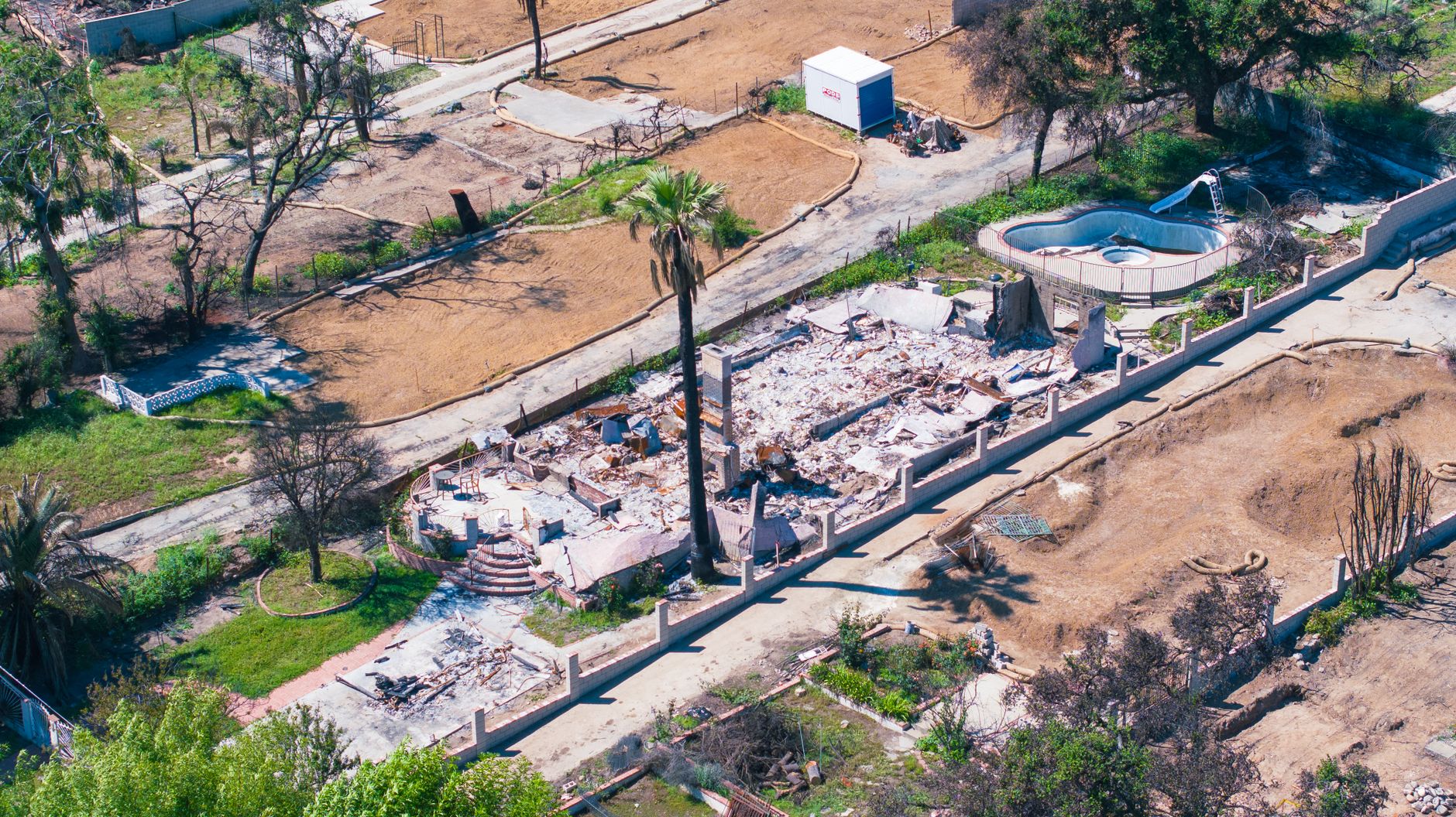
The zone you're in now determines which building standards apply, and the rules expanded in 2025. Senate Bill 63 expanded wildfire-resistant building standards to "high" zones within LRAs, and on October 15, 2025, the California Building Standards Commission officially incorporated the LRA high zone into the code. Before that, Chapter 7A applied only to Very High zones in local jurisdictions.
In Saratoga, the city has already implemented this at the local level. If your property is located in any Fire Hazard Severity Zone (Moderate, High, or Very High) or the City's Wildland-Urban Interface Area, you must comply with Article 16-52 — Wildland-Urban Interface Code, which incorporates the 2025 California Wildland-Urban Interface Code, Title 24, Part 7 requirements with local amendments regarding fire hazard areas, applicability, and roof replacement or repair.
Note that Saratoga applies this requirement across all three tiers, not just High and Very High. That is a local decision; state law sets a floor, not a ceiling. The scope of what triggers WUI compliance — new construction, re-roofs, additions, accessory structures — is determined by the building department. Check with the City of Saratoga's Community Development Department before starting any project on a hillside or WUI-adjacent parcel.
There is also an SB 9 wrinkle. Any parcel located within a high or very high fire hazard severity zone is disqualified from SB 9 lot splits or duplexes unless the development complies with applicable fire hazard mitigation measures, such as installation of a new emergency access road. That matters for larger hillside lots that owners might otherwise consider splitting.
What the zone means at sale
Fire zone status is part of the Natural Hazard Disclosure Statement (NHDS) that sellers provide to buyers. AB 1280, which took effect in 2023, expanded what that form must cover. AB 1280 revised the Natural Hazard Disclosure Statement that a seller of single-family residential property is required to provide a buyer — it now requires the statement to include whether the property is located within a high fire hazard severity zone, whereas previous law only required disclosure of a very high fire hazard severity zone. Additionally, the statement must indicate whether the property is located in a state responsibility area or a local responsibility area.
Saratoga is an incorporated city, so it is a Local Responsibility Area — that classification now appears explicitly on the disclosure form. A professional Natural Hazard Disclosure report (standard in Bay Area transactions) will pull the current zone for any parcel. Sellers and their agents should confirm which zone applies under the 2025 maps before listing, particularly for parcels near the WUI boundary that may have shifted tier.
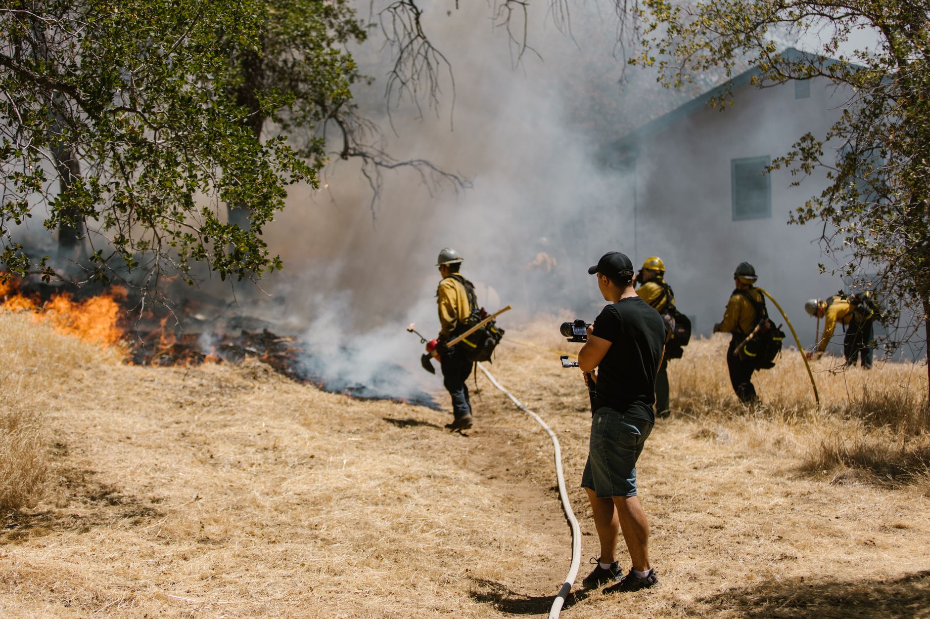
Sellers of real property located in a high or very high fire hazard severity zone are also required to provide a prescribed disclosure notice to the buyer if the home was constructed before January 1, 2020, covering fire hardening improvements on the property and features that may make the home vulnerable — and on or after July 1, 2025, that disclosure notice must also include the State Fire Marshal's list of low-cost retrofits.
With 4,642 of Saratoga's parcels built before 1980, the pre-2020 construction threshold applies to nearly every single-family home on the western hillside. An attorney or licensed real estate professional can advise on specific transaction obligations.
Where to check
- CAL FIRE Fire Hazard Severity Zone viewer — the interactive statewide map; shows 2025 LRA recommendations and SRA zones
- City of Saratoga — Local Responsibility Fire Hazard Severity Zone — Saratoga's 2025 FHSZ map PDF, CAL FIRE FAQ, and CDI insurance Q&A
- City of Saratoga — Fire Prevention — WUI boundary map and local building requirements under Article 16-52
- California Legislature — AB 1280 — the 2023 law expanding FHSZ disclosure requirements on the Natural Hazard Disclosure Statement
- California DRE — Key Updates for Property Owners & Agents 2025 — plain-language summary of AB 1280 and other disclosure changes
Tim McMullen · CA DRE #02016832
[email protected] · (415) 691-9272
- https://osfm.fire.ca.gov/what-we-do/community-wildfire-preparedness-and-mitigation/fire-hazard-severity-zones
- https://www.saratoga.ca.us/684/Local-Responsibility-Fire-Hazard-Severit
- https://www.saratoga.ca.us/215/Fire-Prevention
- https://www.saratoga.ca.us/m/faq
- https://abag.ca.gov/sites/default/files/documents/2025-11/WildfireAndHousingResourceGuide8_2025.pdf
- https://leginfo.legislature.ca.gov/faces/billNavClient.xhtml?bill_id=202320240AB1280
- https://leginfo.legislature.ca.gov/faces/billTextClient.xhtml?bill_id=201920200AB38
- https://www.dre.ca.gov/Newsroom/DRE_Updates/2025_07_21_Key_Updates_for_California_Owners_and_Agents.html
- https://osfm.fire.ca.gov/what-we-do/community-wildfire-preparedness-and-mitigation/fire-hazard-severity-zones/fire-hazard-severity-zones-maps
- https://gis.data.ca.gov/datasets/CALFIRE-Forestry::fire-hazard-severity-zone-viewer/about
More from Saratoga
Five townhouses, one development, one day: Saratoga's entire October 11 feed explained
Every listing that appeared on the Saratoga feed on October 11 was a townhouse from the same new-construction project, priced between $1.67M and $2.07M. Nothing went pending and nothing closed.
Saratoga's only October 13 listing asks $4 million — and details are still missing
14180 Perata Court came on at $3,998,000 — the only move in the city that day. Here is what the record shows and where it sits against the broader market.
Cottonwood Place Has Seven Near-Identical Plan 2s Listed — This One Undercuts Six of Them
11325 Cottonwood Place asks $1,899,043 — below the $1,855,888 median of 27 comparable condo and townhome sales in the past 12 months, and below seven of the eight nearest Plan 2 comps. It sits at the 8th percentile of all active Saratoga listings.